Peloncillo Mountains Wilderness
Peloncillo Mountains Wilderness
The Peloncillo Mountains Wilderness is a 19,440-acre property in southeastern Arizona, partly against the New Mexico border. In the mid-1800's, the famous Butterfield Overland Stage Route ran around the southern boundary of the Peloncillo Mountains Wilderness. Since those days, though, the area has become more the province of large cattle ranches and property owners who keep all the gates locked, including those that cross public roads leading to public property.
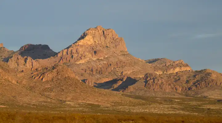
The Peloncillos were created by violent volcanic upheavals and the mountains are a veritable maze of basalt ridges separating a labyrinth of twisted and contorted canyons. Elevations vary between about 4,000 feet and 6,401 feet. If you don't want to explore the canyon bottoms, you'll want to get up high and enjoy the expansive views.
Most of the Peloncillos are vegetated with a thick chaparral of mesquite, catclaw, creosote bush, turpentine bush, snakeweed, burroweed, agave, whitethorn, prickly pear and juniper. Desert bighorn sheep have been successfully reintroduced to the mountains. You might also see mule deer, bobcat, mountain lion, black bear, coyote, fox and other small mammals in addition to the usual assortment of reptiles, insects and arachnids Arizona is so famous for.
To get there: the northern portion can be reached by traveling east from Duncan on US Highway 70, then south on Summit Road. The southern portion can be reached via the West Doubtful Road or the Mackenzie Peak Road, both of which lead north out of San Simon on Interstate 10. You're going to want high clearance and 4WD to reach the wilderness boundary.
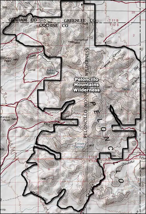
7.5-Minute Topo Maps: Doubtful Canyon, San Simon, Engine Mountain, Orange Butte
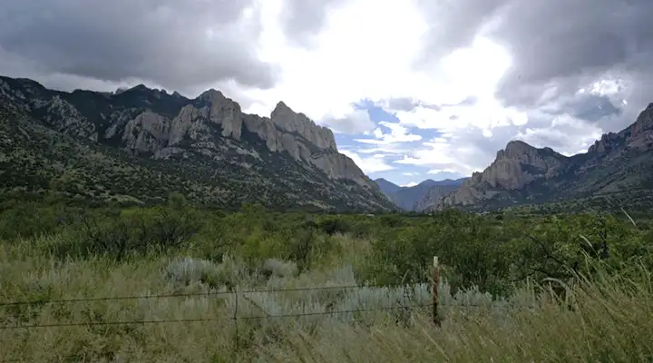
At the boundary of Peloncillo Mountains Wilderness
Upper photo of the Peloncillo Mountains courtesy of Chris Barns, via Wilderness.net
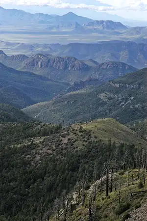
Other photos of the Peloncillo Mountains courtesy of Sky Island Alliance
Map courtesy of National Geographic Topo!
Other photos of the Peloncillo Mountains courtesy of Sky Island Alliance
Map courtesy of National Geographic Topo!