Roaring Plains West Wilderness
Roaring Plains West Wilderness
Roaring Plains West Wilderness is a 6,792-acre property in Monongahela National Forest. In the original wilderness proposal there was also a Roaring Plains East and Roaring Plains North but those two areas didn't make it into the wilderness declaration issued on March 30, 2009 that created the Roaring Plains West Wilderness. Dolly Sods Wilderness is about 3 miles to the northeast.
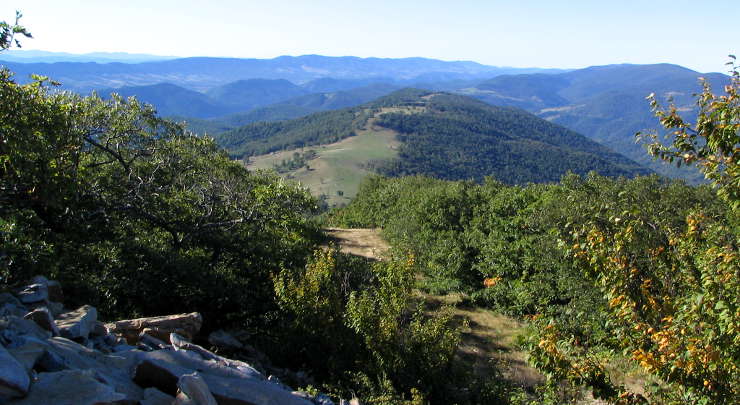
Roaring Plains together with neighboring Flatrock Plains makes up the highest plateau region in the eastern United States with the Eastern Continental Divide running through the wilderness area. The higher regions are a mix of sphagnum peat bogs and rocky, tree-studded plains that drop off quickly over rock outcroppings and cliffs that offer great views of the central mountain ridges and valleys of the Allegheny Mountains. Tree cover is a mix of red spruce, hardwoods and brush with scattered impenetrable thickets of rhododendron and mountain laurel. Elevations range from about 3,000 feet at the southern boundary to 4,770 feet at the summit of Mount Porte Crayon. There are only about 4 miles of established trails in the wilderness area but it is all open to both hikers and equestrians.
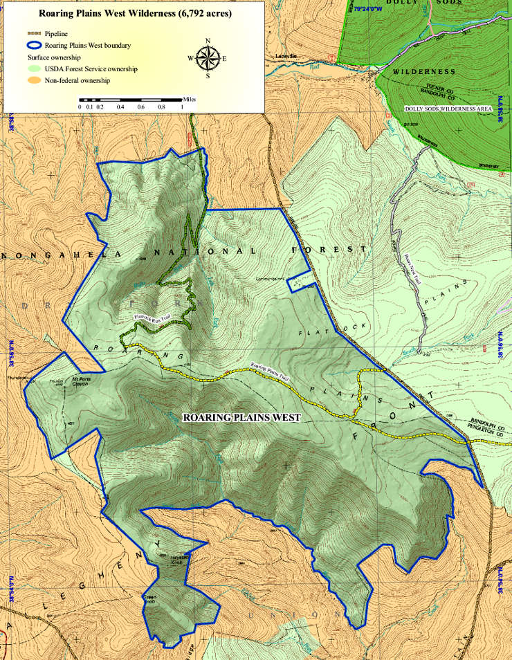
Roaring Plains West Wilderness Trail Map
Upper photo courtesy of Wikipedia userid Dogwood123, CCA-by-SA 3.0 License
Map courtesy of the US Forest Service
Map courtesy of the US Forest Service