Laurel Fork South Wilderness
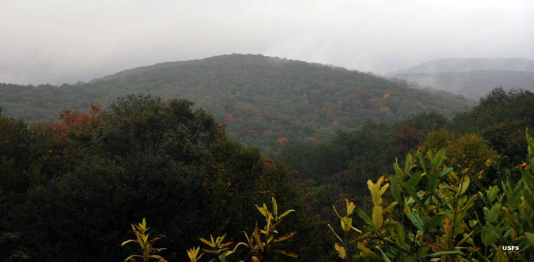
Laurel Fork South Wilderness on a rainy day
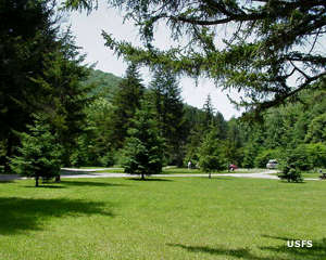
Laurel Fork South Wilderness is a 5,840-acre property in Monongahela National Forest. Laurel Fork South Wilderness is separated from Laurel Fork North Wilderness only by the corridor along the graveled Route 40. Elevations on the property range from about 2,900 feet to more than 3,700 feet. The tree cover is mostly a mix of maple, oak, beech, birch and black cherry with small grassy meadows interspersed.
The Laurel Fork South Trail follows Laurel Fork south for about 5 miles from the central trailhead on Route 40. There are no trails on the eastern side of Laurel Fork South but there are three trails from the west that connect to the Laurel Fork South Trail. There are several good fishing streams on the property that empty into Laurel Fork. Laurel Fork runs in a deep narrow north/south valley between long slim ridges. Wildlife in the area includes black bear, whitetail deer, foxes, rabbits, badgers, coyotes and squirrels.
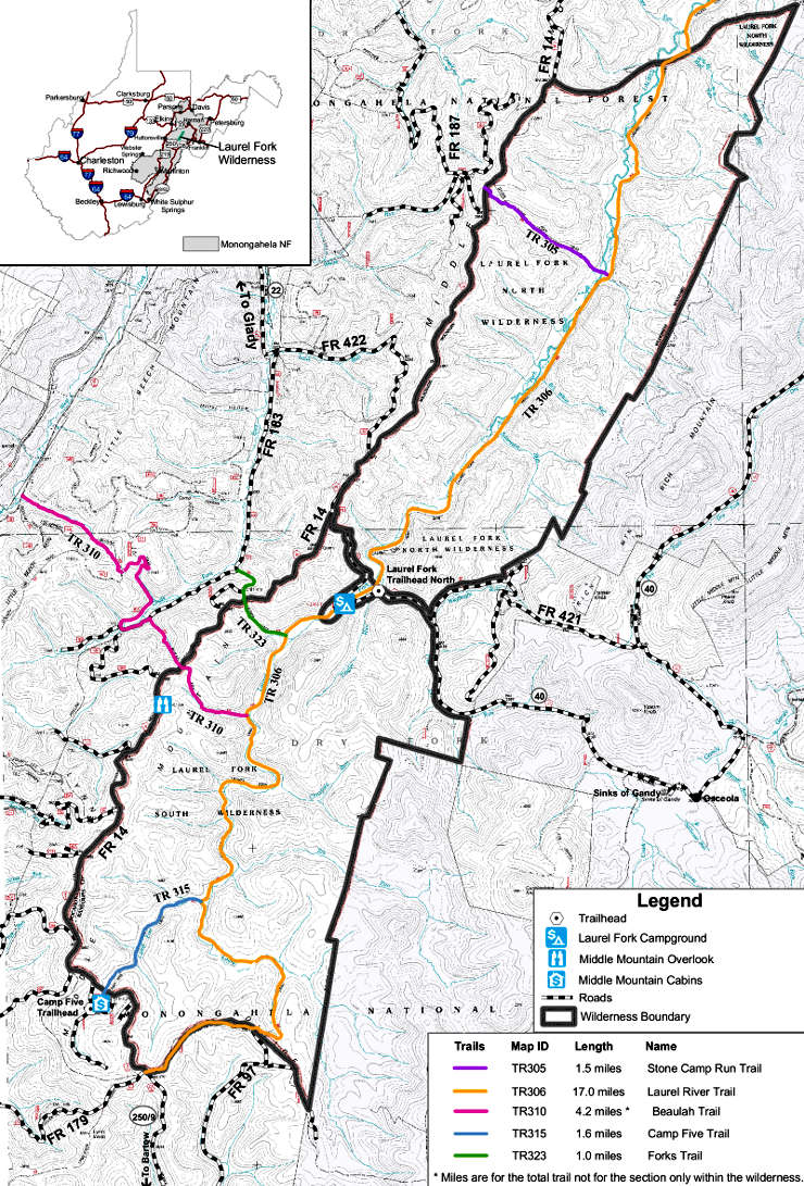
Laurel Fork South Wilderness map
Upper photo courtesy of Brian M. Powell, CCA-by-SA 3.0 License
Map courtesy of the US Forest Service
Map courtesy of the US Forest Service