Conconully State Park
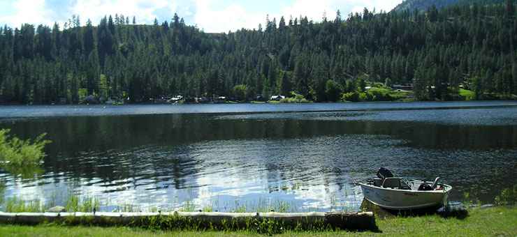
One of the lakes at Conconully State Park
Conconully State Park is an 81-acre property, a camping park sporting about one mile of shoreline on the oldest Bureau of Reclamation irrigation project in north central Washington. The town of Conconully was founded as a mining town, chartered in 1887. Conconully served as the county seat of Okanogan County from 1889 to 1914, even though the town was almost destroyed several times by fires and floods. An early schoolhouse and a replica of the original courthouse are still standing on the grounds of Conconully State Park as the original courthouse was torn down and the lumber used to build the still-standing community center. The irrigation project was one of the first irrigation projects on the drawing boards of the Federal Bureau of Reclamation after the Bureau was established in 1905. The dam was built, the lake filled and the first version of the state park was opened to the public in 1910. In 1945, Washington State Parks took over the site.
The main draw to Conconully State Park is the excellent fishing, with boat launches on two lakes. The campground offers 51 primitive tent spaces and 15 sites with water and electric hookups. There are four restrooms (one universally accessible) and four showers (one universally accessible). Maximum RV size: 60 feet.
Hours: 6:30 am to 10 pm, seven days a week. Campground check-in: 2:30 pm; check-out: 1 pm. Quiet hours: 10 pm to 6:30 am. Electric generators are allowed to run from 8 am to 9 pm only. The park is closed from the first of November through the end of March. Stay limit: 10 consecutive days. Maximum 8 people per campsite. Second vehicle: $10 per night (unless it is towed by an RV). Prices subject to change without notice.
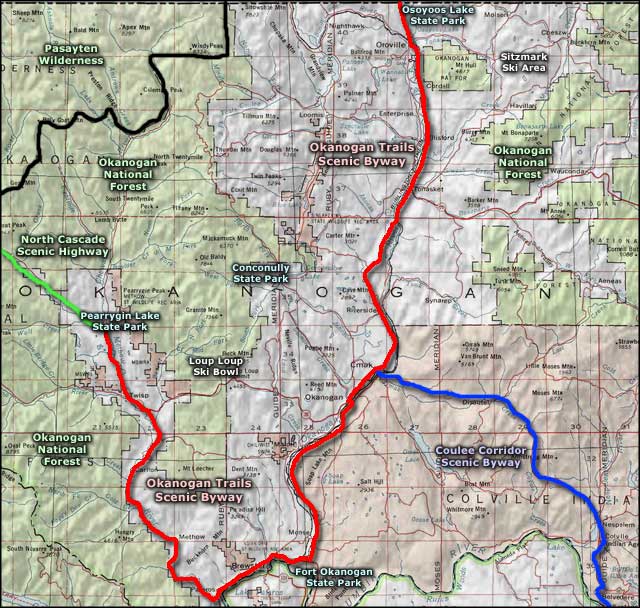
To get there: Go 22 miles north from Omak on State Highway 97 (the Conconully Highway) to the park entrance.
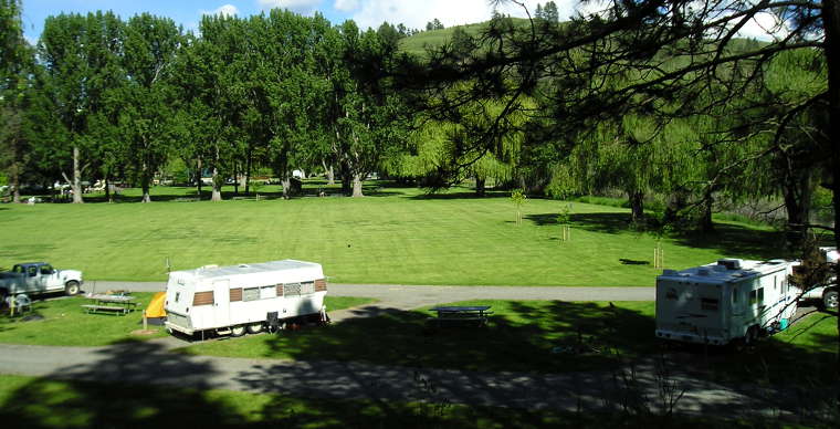
In the campground at Conconully State Park
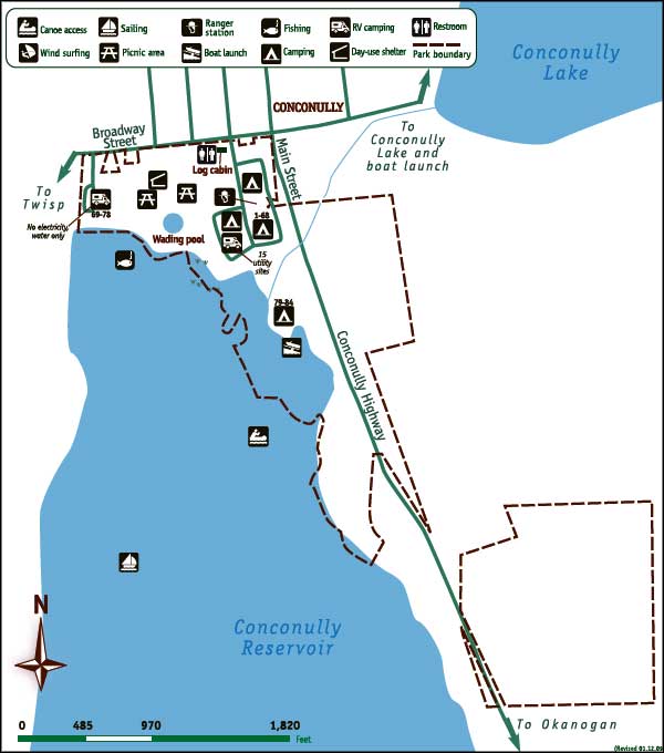
State Park map courtesy of Washington State Parks
Related Pages
Area map courtesy of National Geographic Topo!