Lewis & Clark National Historic Trail
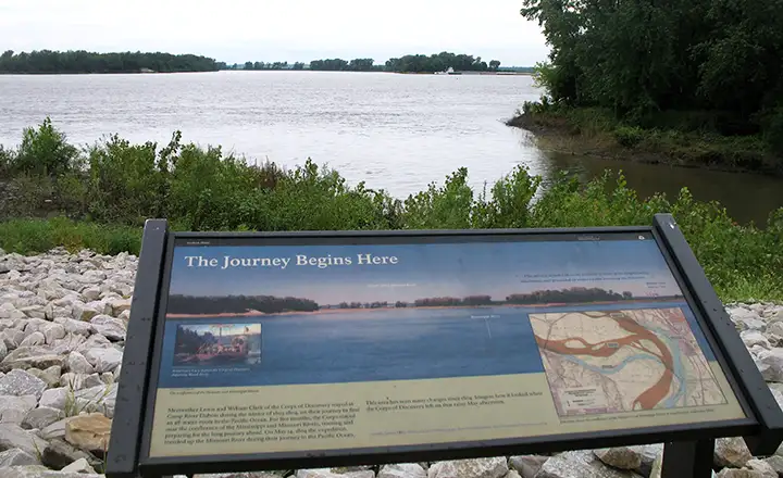
Camp Dubois, starting point of the Lewis and Clark National Historic Trail at the confluence of the Mississippi and the Missouri Rivers
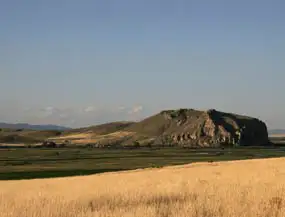
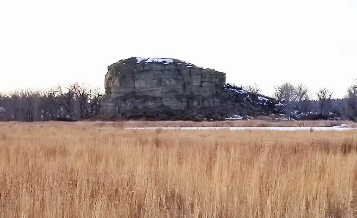
Beaverhead Rock, near Dillon, MT
In 1804, Meriwether Lewis and William Clark, with 31 men, two pirogues, a keelboat and a dog, started off on one of the modern world's most famous voyages of discovery. They were charged with making the journey west across the northern portions of the recently completed Louisiana Purchase, crossing the Rocky Mountains, following the Columbia River to the Pacific Ocean, and then making the return journey via a slightly different route. They were to write accounts of all that they did, all that they saw, all whom they met and draw maps, pictures and diagrams of the animals, plants, minerals and trails along the way as best they could. None of the people involved were trained cartographers, anthropologists, botanists, biologists, mineralogists, geologists or meteorologists, but they somehow got the job done anyway. It took them three years.
A large part of the trail was along the Missouri, Snake and Columbia Rivers with sections along the Clarks Fork and Yellowstone Rivers as they came back east, but between those rivers was a vast, wild and often very rugged countryside. Today's Lewis & Clark National Historic Trail is 3,700 miles long, and consists of sections of federal, state and county land with access agreements in place with many of the private land-owners in between.
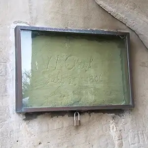
William Clark's signature on Pompeys Pillar
Official headquarters for the Trail is in Omaha at the Mid-West Regional Headquarters of the National Park Service. The visitor center there features exhibits and displays about the Corps of Discovery (the men who actually made the trip) and what they discovered along the way. That's where you'll also find the main supply of maps, brochures and other information about the developed and the yet-to-be-developed sites along the way.
The Lewis & Clark National Historic Trail is a "National-Park-in-the-making." The National Park Service is still in the process of visiting sites along the path of the Corps of Discovery and certifying that they are the actual places mentioned in the logs and diaries kept by the folks on the Lewis & Clark Expedition. At the same time, there are probably 50 Native American Tribes who have stories of the expedition buried in their oral histories and those stories are still being collected and transcribed.
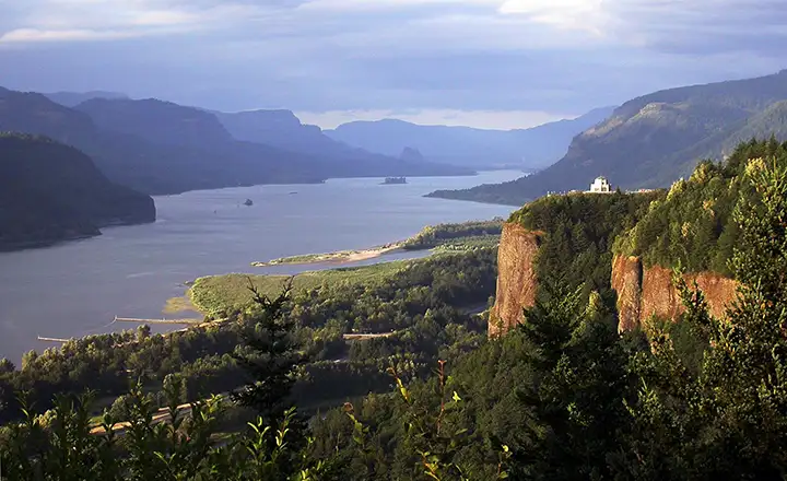
The Columbia River
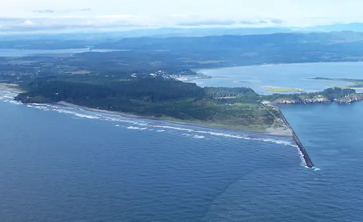
Cape Disappointment, western terminus of the Lewis & Clark Expedition
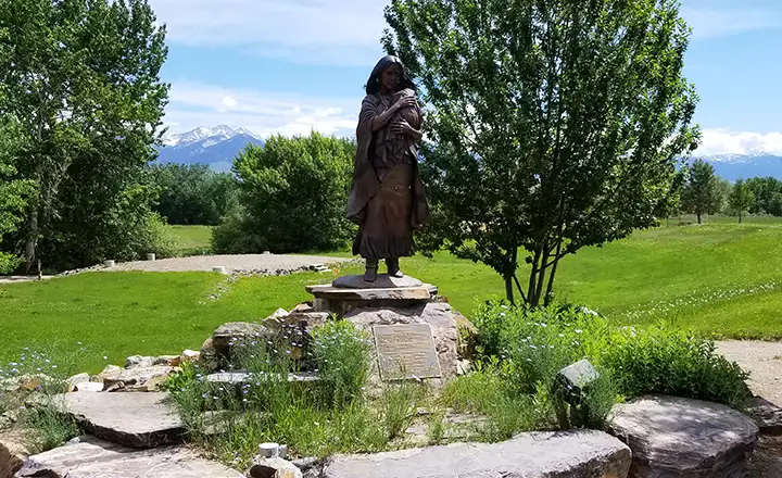
Sacagawea Monument, Salmon, Idaho
Pompey's Pillar, Montana
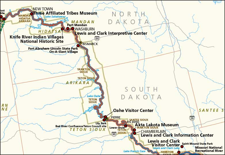
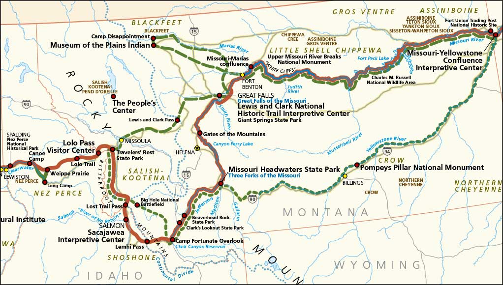
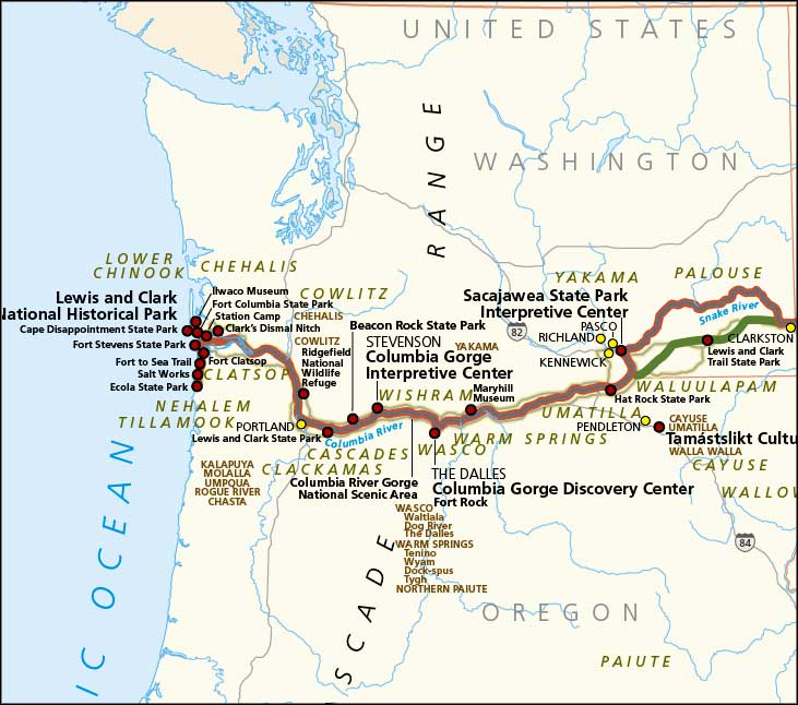
Maps of the Lewis & Clark National Historic Trail
Upper photo courtesy of Wikipedia userid Americasroof, CCA-by-SA 3.0 License
Upper left photo courtesy of the National Park Service
Photo of the Columbia River courtesy of Jeff Olson, NPS
Photo of Cape Disappointment courtesy of the US Coast Guard
William Clark's signature and bottom 2 photos are courtesy of TheArmchairExplorer, CCA-by-SA 4.0 License
Maps courtesy of the National Park Service