Mississippi National River and Recreation Area
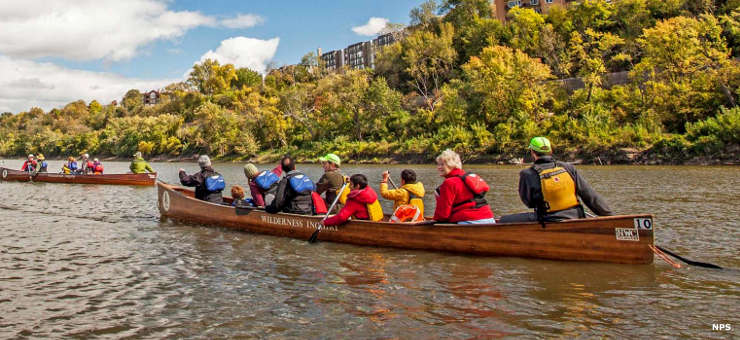
Enjoying the Mississippi National River and Recreation Area
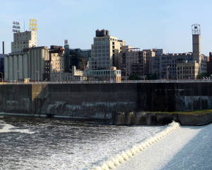
St. Anthony Falls Historic District
The Mississippi National River and Recreation Area covers about 54,000 acres in a 72-mile long strip of the Mississippi River, from the neighborhoods of Dayton and Ramsey, MN, to just below Hastings, MN. This includes the stretch of river that flows through Minneapolis-St. Paul. The park was established as a "partner park" where the National Park service doesn't own a lot of land but does work hand-in-hand with local governments, non-profits, educational institutions, businesses and individuals who own land along the river and/or are interested in seeing the mission (to preserve and protect for future generations) of the Park achieved.
As of 2020 there are two visitor centers for the park, both in the Minneapolis-St. Paul area (as are most of the elements included in the park). One visitor center is in the Science Museum of Minnesota (in St. Paul) while the other is a ranger station at the Upper St. Anthony Falls Lock and Dam. The Science Museum is generally closed on Mondays (except Memorial Day and Labor Day), open Tuesday through Thursday from 9:30 am to 5 pm, Friday and Saturday from 9:30 am to 9 pm, and Sunday from 9:30 am to 5 pm, except always closed for Thanksgiving and Christmas Days and for one or two weeks in September when exhibits need to be changed and maintenance performed. There are other visitor centers in the area operated by local and state governments and private agencies.
The National Park has no admission fees but some of the partner parks do (like Historic Fort Snelling and Fort Snelling State Park). Some have parking fees instead of entry fees (like Minnehaha Regional Park). Most public areas in the park are free to the public.
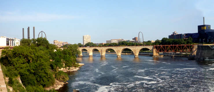
Looking downstream near St. Anthony Falls
Upper photo is courtesy of the National Park Service
Other photos are courtesy of Bobak Ha'Eri, CCA-by-SA 3.0 License