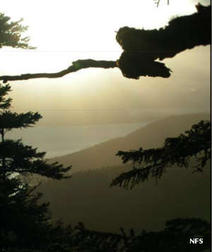
Pleasant-Lemesurier-Inian Islands Wilderness
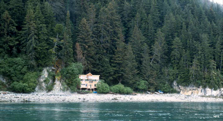
An inholding in the Pleasant-Lemesurier-Inian Islands Wilderness area
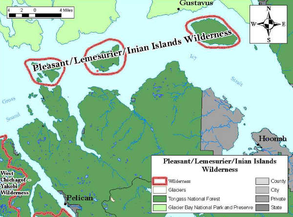
Pleasant-Lemesurier-Inian Islands Wilderness is a 23,096-acre property spanning three groups of islands in Icy Strait, between Tongass National Forest and Glacier Bay National Park. The largest is Pleasant island, a relatively flat piece of land covered with muskeg forest. The high point on Pleasant Island is The Knob, at about 600 feet. At least two lakes and three streams on the island run fresh water and the trout and salmon fishing is excellent.
Lemesurier Island is about half the size of Pleasant island but rises to 2,180 feet in a forest of muskeg, spruce and cedar. There are also several lakes and streams on the island, also good spawning grounds for trout and salmon.
The Inian Islands are a collection of smaller rocks and pinnacles, one rising to almost 1,000', west of Lemesurier Island. The Inians get a more direct blast from weather in the Gulf of Alaska but the islands are heavily forested in the usual spruce, hemlock and cedar.
The only established trail in the wilderness goes to a lake on Lemesurier Island. There are no public recreation facilities anywhere on the islands. Access is via boat or float plane, but most folks visit via boat. Because of the location these islands are among the best places on Earth to observe the passage of humpback, gray and other whales in their semi-annual migrations.
Photos and map courtesy of the US Forest Service