Pahranagat National Wildlife Refuge
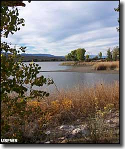
Lower Lake, Pahranagat National Wildlife Refuge
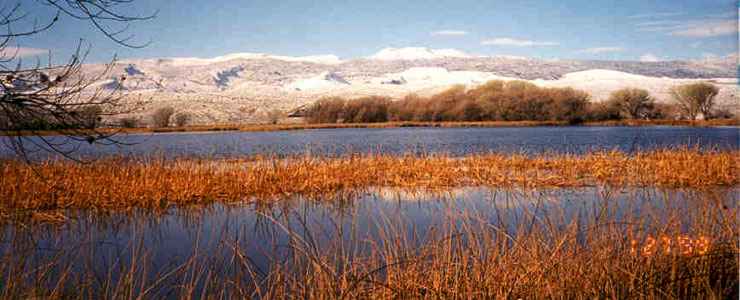
The 5,380 acres of Pahranagat National Wildlife Refuge are located in a long valley beside US Highway 93, about 90 miles north of Las Vegas. This oasis in the desert provides excellent wetlands habitat for waterfowl and other migratory birds who travel the Pacific flyway between their summer and winter homes.
More than 230 species of birds have been documented at Pahranagat in the different seasons. The diversity and abundance are greatest during the spring and fall migrations, of course.
There are several large springs flowing up the valley to the north of Pahranagat. That's the source of the water in the impoundments here. Most birds congregate in the North Marsh/Upper Lake area, where most of the water is usually stored. During the summer, water is let loose from Upper Lake to irrigate croplands scattered down the valley around the lower lakes, ponds and marshes and to raise the water levels in those lower ponds and marshes. The valley here was made by the White River, a river that flows into the underground well north of Pahranagat, surfaces at Pahranagat and then sinks back below ground as it exits Pahranagat. Very rarely will you find water flowing below Maynard Lake at the south end of the refuge.
As much as bird watching is an obvious activity to enjoy at Pahranagat NWR, fishing is allowed in most areas and hunting (in season) is allowed in some areas, too. Along the east shore of Upper Lake are several picnic areas and camping sites. From north to south, the refuge is about ten miles long but there isn't much in the way of hiking trails. There is the main highway and a few refuge access roads but there aren't any marked and/or maintained hiking trails. What isn't wet is populated with rabbits, squirrels and small rodents. Get up the hill outside the refuge boundaries and you're liable to find mule deer, pronghorn antelope, bobcats, coyotes and mountain lions.
Pahranagat National Wildlife Refuge is administered as part of the Desert National Wildlife Refuge Complex.
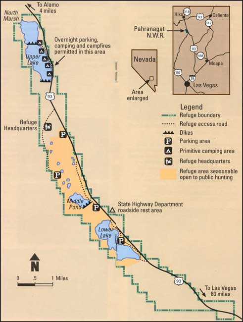
Pahranagat National Wildlife Refuge map
Photos and map are courtesy of the US Fish & Wildlife Service
Related Pages
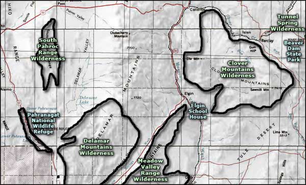
Map courtesy of National Geographic Topo!