Homochitto National Forest
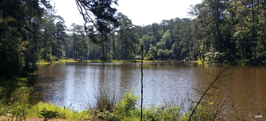
Near Clear Springs Campground
Homochitto National Forest is a 191,839-acre property in southwestern Mississippi. The Forest area was assembled of abandoned farmland in the early 1930's. The area was pretty much clearcut and the soil exhausted. The Civilian Conservation Corps arrived in 1936 and replanted much of the property with loblolly pines, in addition to building roadways and facilities for tourism and recreation.
In 2005 Hurricane Katrina caused extensive damage to Homochitto National Forest and even in 2020, some of the trails and facilities are still closed.
Homochitto Ranger District Recreation Areas
| Recreation Area | Amenities |
|---|---|
| Brushy Creek Horse Trail | Camping, Picnicking, Hiking, Swimming, Fishing |
| Clear Springs Recreation Area | Camping, Picnic area, Hiking, Biking, Swimming, Fishing |
| Okhissa Lake Recreation Area | Parking, Picnicking, Boat Launch, Fishing |
| Woodman Springs Shooting Range | Parking |
| Mill Branch Trail - CLOSED | 4.7 Mile Trail, Hiking, Mountain Biking |
| Richardson Creek Trail | 10 Mile Trail, Hiking, Mountain Biking |
| Tally's Trail - CLOSED | 11.7 Mile Trail, Hiking, Mountain Biking |
| Pipes Lake - CLOSED | Picnicking, Fishing, Boat Launch |
Photos courtesy of the US Forest Service