St. Marks National Wildlife Refuge
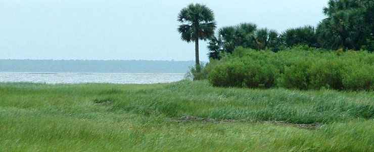
Along the shore on St. Marks National Wildlife Refuge
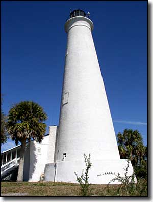
The St. Marks Lighthouse
St. Marks National Wildlife Refuge encompasses about 68,000 acres spread across Wakulla, Taylor and Jefferson Counties along the Gulf of Mexico in northwestern Florida. The Refuge was established in 1931 to preserve and protect wintering ground for native and migratory birds. Included on the property are the estuaries of 7 of Florida's rivers with a nice selection of tidal creeks, saltwater marshes and nearby offshore islands. The Refuge is broken into four units:
The Wakulla Unit is west of the town of St. Marks, off Highway 98. The Wakulla Unit offers fresh and brackish water marshes, palm hammocks, upland pine forests and tidal beach access to Apalachee Bay. Use of the area is free but there are no facilities provided.
The St. Marks Unit is where you'll find the Visitor Center and Refuge Headquarters. There is a seven-mile drive from there that passes several fresh and brackish water impoundments before arriving at the foot of Apalachee Bay near the St. Marks Lighthouse. There is an entrance fee involved but you also get toilets, a developed picnic area, boat ramps and nature trails. The property contains forested swamps, upland pine forest, fresh and brackish water marshes and the ecosystem of a pristine salt-water estuary.
The Panacea Unit has several fresh water lakes but is dominated by uplands oak and pine forests. Otter Lake Recreation Area offers restrooms, picnic shelters and a launch point for boats with less than 10 horsepower motors attached. This Unit is on Highway 98, partially within the boundaries of Medart and running south along Highway 319 almost to the town of Sopchoppy. Use of everything on the unit is free.
The Aucilla River Unit is along the Aucilla River and offers a boat ramp and excellent fishing opportunities. The unit is located about 15 miles east of Newport off Highway 98. As the unit is managed in conjunction with Taylor County, there are user fees in place for the boat ramp.
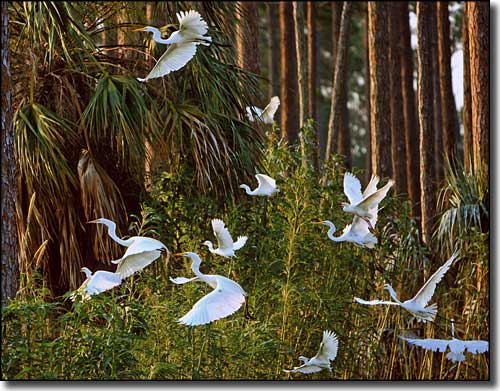
A flight of common egrets at St. Marks National Wildlife Refuge
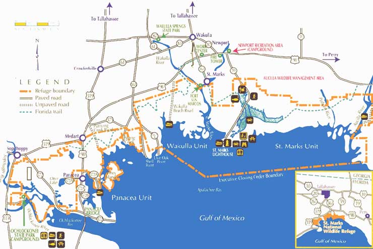
Photo of St. Marks NWR shoreline courtesy of Tim Ross
Photo of St. Marks Lighthouse courtesy of Matthew A. Lynn
Photo of Common Egrets at St. Marks NWR courtesy of Betsy Kellenberg
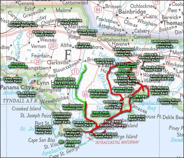
Map of St. Marks NWR courtesy of the US Fish & Wildlife Service
Photo of St. Marks Lighthouse courtesy of Matthew A. Lynn
Photo of Common Egrets at St. Marks NWR courtesy of Betsy Kellenberg
Map of St. Marks NWR courtesy of the US Fish & Wildlife Service
Related Pages
- Alfred B. Maclay Gardens State Park
- Apalachee Savannahs Scenic Byway
- Apalachicola National Forest
- Bald Point State Park
- Big Bend Scenic Byway
- Bradwell Bay Wilderness
- Camp Helen State Park
- Constitution Convention Museum State Park
- Econfina River State Park
- Edward Ball Wakulla Springs State Park
- Falling Waters State Park
- Florida Caverns State Park
- Fort Gadsden Historic Site
- John Gorrie Museum State Park
- Lake Jackson Mounds State Park
- Lake Talquin State Forest
- Lake Talquin State Park
- Letchworth-Love Mounds Archaeological State Park
- Mud Swamp-New River Wilderness
- Natural Bridge Battlefield State Park
- Ochlocknee River State Park
- Orman House State Park
- Pine Log State Forest
Area map courtesy of National Geographic Topo!