Ravine Gardens State Park
Ravine Gardens State Park
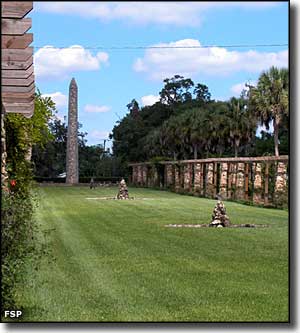
The creation of Ravine Gardens State Park was begun thousands of years ago by water running downhill to the St. Johns River. Over time, that water eroded channels, then arroyos, then a series of deep ravines into the limestone bedrock. Then came the Works Progress Administration and Civilian Conservation Corps in 1933. They saw the possibility of creating a premier ornamental garden here and spent the next several years doing just that.
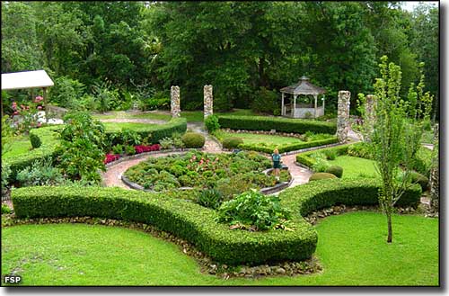
Today, Ravine Gardens State Park is listed on the National Register of Historic Places and is still rated as one of the 100 best ornamental gardens in the United States. Peak viewing season is from January through April when the azaleas, dogwoods, camellias and Chickasaw plums are in full bloom.
Ravine Gardens State Park is 146 acres in size, most of it kept natural with about five acres tied up in the formal gardens. The natural vegetation is a mix of hickory, live oak, longleaf pines, sweet gum, cypress, cabbage palm, mosses and ferns. There is a 1.8-mile paved perimeter road with picnic sites scattered along it. There are stairways and trails that access the nearby ravines near each picnic area. Near the small picnic pavilion is the children's playground and the restroom facilities. There are additional (universally accessible) restroom facilities located in the Roy E. Campbell Civic Center.
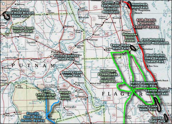
Ravine Gardens State Park is open for day use from 8 am until sunset every day of the year. The 1.8-mile drive is closed to vehicular traffic one hour before sunset daily. The Civic Center Office is open from 8 am to 3:30 pm Mondays through Fridays, excluding state and federal holidays. To get there: From US Highway 17/SR 100 in downtown Palatka, turn south on Moseley Avenue and go to Twigg Street. At Twigg Street, turn east and enter the park.
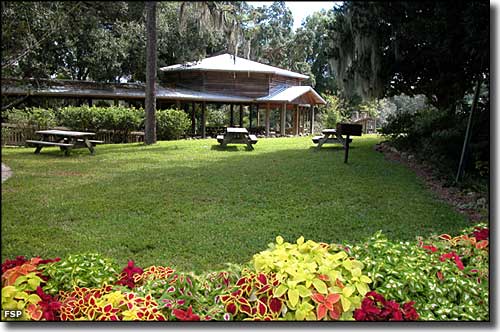
Picnic pavilion and tables in the park
Photos courtesy of Florida State Parks
Related Pages
Area map courtesy of National Geographic Topo!