Ponce de Leon Springs State Park
At Ponce de Leon Springs State Park
In 1513, the Spanish explorer Ponce de Leon came to Florida in search of a legendary "Fountain of Youth." He found lots of springs but never quite what he was looking for.
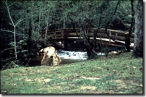
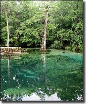
This spring in the northern part of Florida's panhandle occurs at the convergence of two underground water flows, and the output is a steady 14 million gallons of water per day at a steady 68°F year-round.
The springs are surrounded by a lush hardwood forest, and there are two nature trails that wind around the woods allowing an up-close exploration. In season the Park Rangers even offer guided tours where you can learn all about the local flora and fauna. The state park offers picnic shelters with grills for those who are so inclined. Fishing, swimming and snorkeling are also common activities here. Anglers will find largemouth bass, catfish, chain pickerel and panfish in the warm water.
This is a day use only park, and day use hours run from 8 am to sunset, 365 days a year. To get there: the springs are located 1/2 mile south of US Highway 90 on County Road 181A, between Ponce de Leon and Caryville.
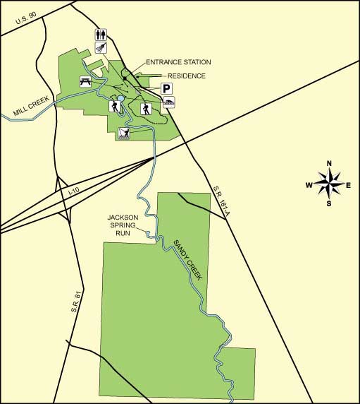
Upper photo and map of Ponce de Leon Springs courtesy of Florida State Parks
Upper left photo of Ponce de Leon Springs courtesy of Margret Hildreth
Upper left photo of Ponce de Leon Springs courtesy of Margret Hildreth
Related Pages
- Alfred B. Maclay Gardens State Park
- Apalachee Savannahs Scenic Byway
- Apalachicola National Forest
- Bald Point State Park
- Big Bend Scenic Byway
- Bradwell Bay Wilderness
- Camp Helen State Park
- Constitution Convention Museum State Park
- Econfina River State Park
- Edward Ball Wakulla Springs State Park
- Falling Waters State Park
- Florida Caverns State Park
- Fort Gadsden Historic Site
- John Gorrie Museum State Park
- Lake Jackson Mounds State Park
- Lake Talquin State Forest
- Lake Talquin State Park
- Letchworth-Love Mounds Archaeological State Park
- Mud Swamp-New River Wilderness
- Natural Bridge Battlefield State Park
- Ochlocknee River State Park
- Orman House State Park
- Pine Log State Forest
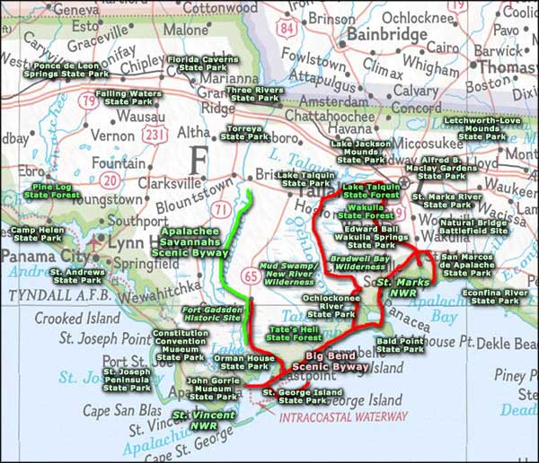
Area map courtesy of National Geographic Topo!