Fred Gannon Rocky Bayou State Park
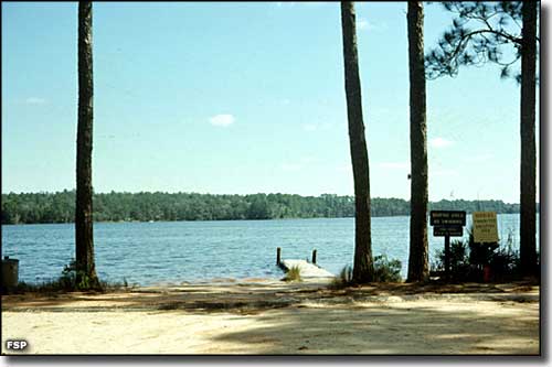
The park's boat ramp and dock
The site of Fred Gannon Rocky Bayou State Park was the site of a practice gunnery and bombing range during World War II. USAF Colonel Fred Gannon helped facilitate the transfer of the property to Florida State Parks and transform it into a beautiful state park. On this property is where you will find some of the few remaining 300-year-old longleaf pines that once dominated the landscape in Florida's panhandle. Rocky Bayou itself is an arm of Choctawhatchee Bay, a favorite hangout of both freshwater and saltwater fish. Bordering the state park is the Rocky Bayou Aquatic Preserve, an endangered ecosystem area featuring estuarine sea grass beds where dolphins, otters, ospreys and bald eagles are often seen.
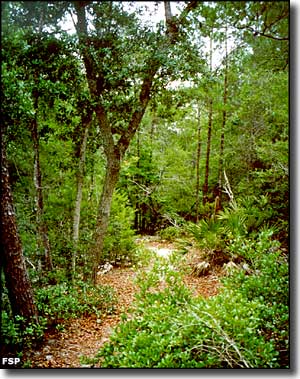
Fred Gannon Rocky Bayou State Park offers visitors opportunities for hiking (3 nature trails), picnicking, bicycling (3 miles of paved roads), wildlife watching, boating and fishing. The double-lane boat ramp at the park is one of the best boat launching facilities on Choctawhatchee Bay. Also on the park property is Puddin Head Lake, a favorite among folks who like to canoe and fish. The park also offers a full-facility, well-shaded campground with 42 sites, four of which are ADA-accessible. Each campsite can accommodate tents, trailers and RVs (up to 40 feet long) and each site offers picnic tables and fire rings. There is a heated and air-conditioned bathhouse in the center of the campground and some sites offer water views. Also within the bounds of the campground is a laundry with vending machines. Canoe and kayak rentals are available at the park office.
Fred Gannon Rocky Bayou State Park is open from 8 am to sunset, every day of the year. Fred Gannon Rocky Bayou State Park is located just east of the town of Niceville on State Route 20.
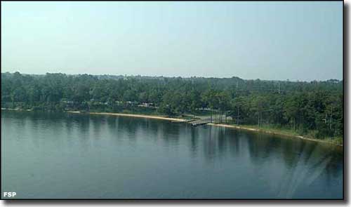
An aerial view of Fred Gannon Rocky Bayou State Park
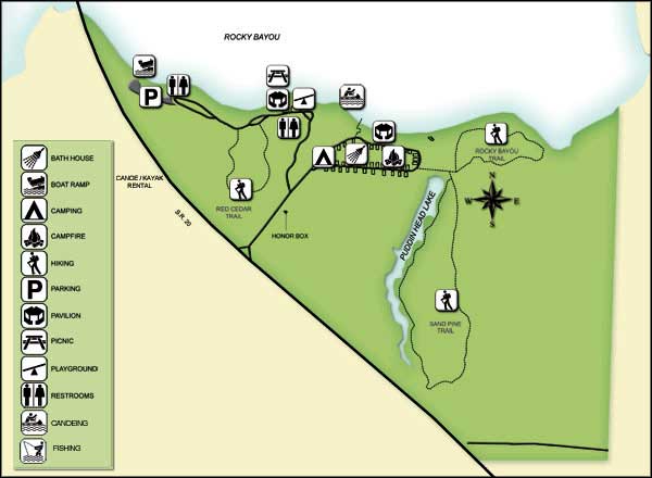
Photos and map courtesy of Florida State Parks
Related Pages
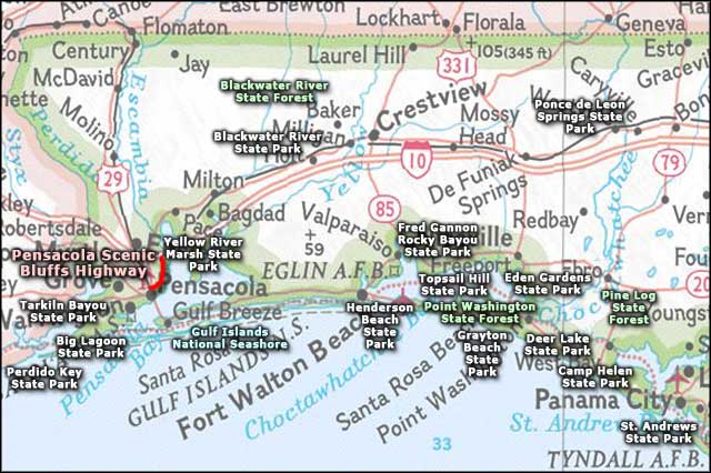
Area map courtesy of National Geographic Topo!