Charlotte Harbor Preserve State Park
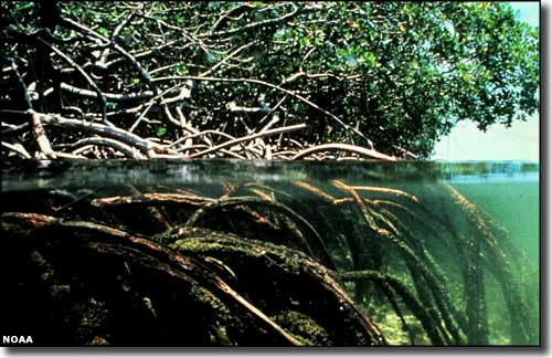
Mangroves along the shoreline of Charlotte Harbor
Charlotte Harbor Preserve State Park is comprised of some 42,000 acres stretched out along 70 miles of shoreline in the Charlotte Harbor estuary. Charlotte Harbor Preserve is mostly shallow bay water fringed with mangrove forests, pine flatwoods, scrub habitats and fresh and salt water marshes. The park is accessed easiest by canoe or kayak, and there are portions of two paddle trail systems that wind their ways through the area. This is a great place to come if you want to see manatees, dolphins, wading birds and other members of Florida's wildlife communities. There are also three marked trails in Charlotte Harbor Preserve's upland areas for those who just want to hike and check out the birds.
Charlotte Harbor Environmental Center (a non-profit corporation separate from the state park but operating in the state park) offers a visitor center with environmental education programs and guided interpretive hikes. They also offer six miles of hiking trail in their area of the park.
Visitors can go just about everywhere that isn't posted as closed, however, there are no toilets and no drinking water outside the visitor center. Most of Charlotte Harbor Preserve State Park is a remote and primitive wilderness, so if you don't take enough water, a map and a compass or GPS device and you run into trouble, you may be in serious trouble.
The visitor center is about 3 miles south of US Highway 41 in Punta Gorda. There are no fees involved. Officially, the park is open only from sunrise to sunset.
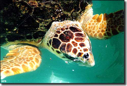
A Loggerhead turtle
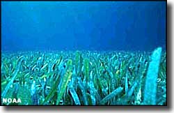
Photos of seagrass and mangroves at water's edge courtesy of NOAA
Photo of the Loggerhead turtle courtesy of the National Park Service
Photo of the Loggerhead turtle courtesy of the National Park Service
Related Pages
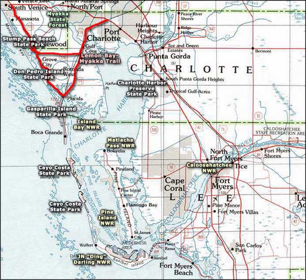
Area map courtesy of National Geographic Topo!