Big Shoals State Park
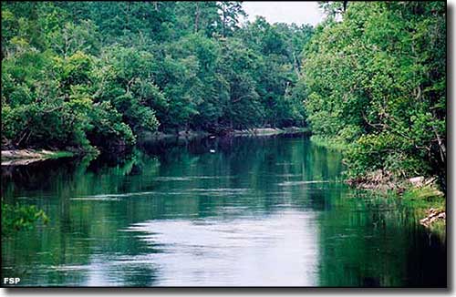
The Suwanee River at Big Shoals State Park in mid-summer
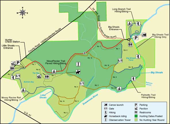
Big Shoals State Park is a rather unique place in Florida. The park borders on the Suwannee River with limestone bluffs rising as much as 80 feet above the river. That alone makes for views you won't find anywhere else in the state. But when the river level is between 59 and 61 feet above mean sea level, the Big Shoals rapids are rated as Class III whitewater. That can make for a lot of canoers and kayakers running the rapids. At 70' above mean sea level, the river is a float stream, running about 2-3 miles per hour. Below 51' above mean sea level, the river in the area of the shoals is impassable.
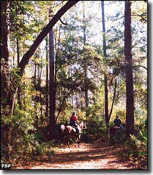
Big Shoals State Park also offers more than 30 miles of wooded trails for hikers, bikers and horseback riders. Other than by running the river, Little and Big Shoals can only be accessed by hiking the park trails. The river also offers some excellent freshwater fishing: black crappie, large-mouth bass, bream, sunfish and channel catfish. While hiking around you might come across box turtles, gopher tortoise, white-tail deer, red-shouldered hawks, pileated woodpeckers, barred owls, red tailed hawks, yellow-bellied sapsuckers, wild turkeys and timber rattlesnakes.
Big Shoals State Park is open from 8 am to sunset every day of the year. Big Shoals State Park is located on County Road 135, about one mile northeast of US Highway 41 in White Springs.
On the map below, the darker green area marks that area known as the Big Shoals Wildlife Management Area, a zone co-managed for hunting purposes with the Florida Fish & Wildlife Conservation Commission. That same darker green area on the map below that is not part of Big Shoals State Park is part of Big Shoals State Forest.
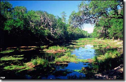
The Suwannee River at Little Shoals in early summer
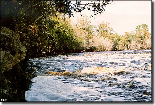
The Big Shoals of the Suwannee River themselves
Photos and map courtesy of Florida State Parks
Related Pages
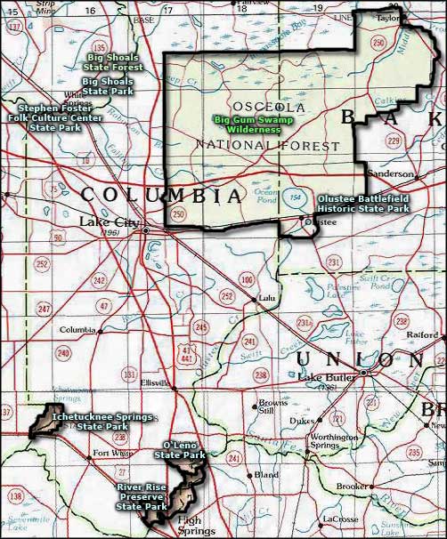
Area map courtesy of National Geographic Topo!