Trail Ridge Road
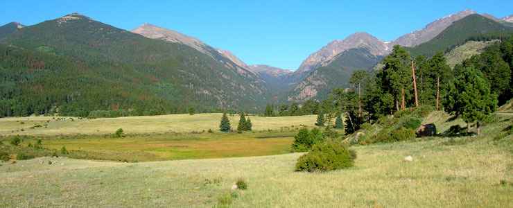
Heading into Horseshoe Park, coming from Estes Park
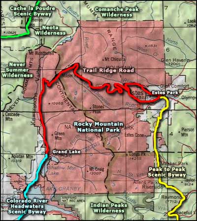
Trail Ridge Road slices across the heart of Rocky Mountain National Park. At the eastern end of Trail Ridge Road is the Peak to Peak Scenic and Historic Byway, at the western end the Colorado River Headwaters Scenic Byway. In between is miles and miles of glacier-carved, high altitude Rocky Mountain majesty.
Distant peaks loom in all directions as the road rises to 12,183'. This cliff-hugging road is as impressive for its engineering as for its stunning vistas. Along the way you'll find viewpoints, overlooks, pull-outs, and short and long hiking trails. A good portion of the road is above treeline, so there's no trees blocking the views... And it's kinda funny to find the Continental Divide about 1,400' below the high point on the road.
There is no other through road like it in America. Those poles you see along the road in the higher areas: they are there to mark the edges of the pavement and give an indicator as to snow depth for the dozer operators to follow first time they run a snow plow over this every year (usually sometime in May). And while you're driving, look out for the elk, bighorn sheep and other wildlife crossing the road. You might want to try to avoid the folks on bicycles, too.
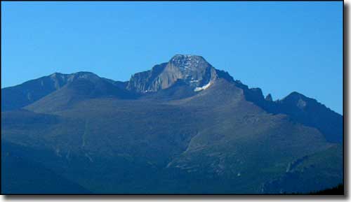
Longs Peak, as seen from Trail Ridge Road
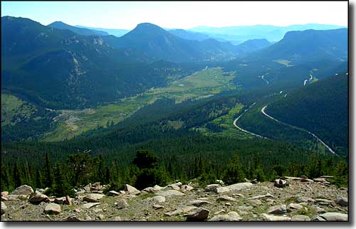
The view back toward Estes Park
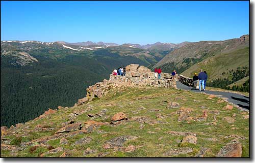
One of the overlooks above treeline along Trail Ridge Road
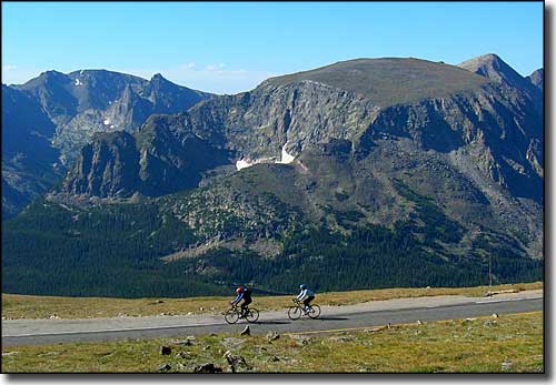
Cars really do need to share the road...
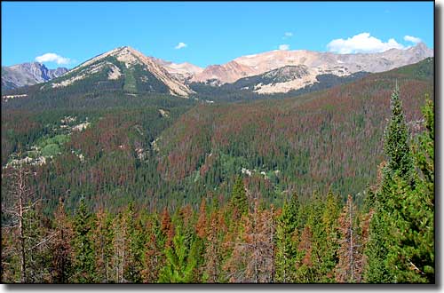
The Never Summer Mountains on the west side of Rocky Mountain National Park
Photos courtesy of TheArmchairExplorer, CCA-by-SA 4.0 License
Map courtesy of National Geographic Topo!