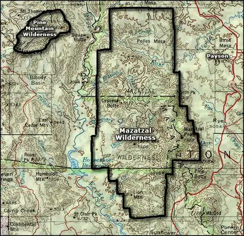
Mazatzal Wilderness
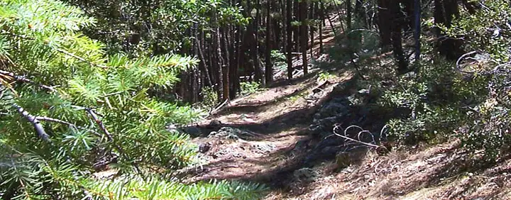
A typical trail in Mazatzal Wilderness
Mazatzal Wilderness is large: 252,390 acres. It was one of Arizona's first Primitive Areas and became a designated wilderness in 1964. Mazatzal Wilderness is a very rugged area characterized by high mountains cut regularly by vertical, hard-to-access canyons on the eastern 2/3 while the western 1/3 is a rolling riparian terrain alongside Arizona's first Wild and Scenic River (the Verde River). The Verde is almost navigable during the height of spring runoff (March 1 to about May 15) but even when the water's high, it's a dangerous and difficult trip.
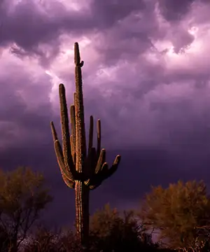
Elevations on Mazatzal Wilderness vary from a low of about 2,100 feet in the southwest corner at Sheep Bridge to the high of 7,903 on the summit of Mazatzal Peak. The higher elevations sport scattered stands of pinion and juniper with a few Douglas firs and Ponderosa pines thrown in. Below that is the chaparral: manzanita, mountain mahogany, mesquite, catclaw and turbinella oak. Below that is semi-desert grasslands and Sonoran Desert shrublands (saguaro, cactus, ocotillo, paloverde, etc.).
The trail conditions vary from well-maintained to life-threatening but there's about 240 miles of them. Among the busiest is the Mazatzal Divide Trail, a 29-mile route that crosses the wilderness north-south along the ridge that summits the mountain. Another busy route (especially for equestrian types) is the Verde River Trail, a 28-mile route along the Verde River. Some trails are okay for hikers but not recommended for horses. Off-trail hiking is impossible in most areas.
Summer temperatures often exceed 100°F and violent thunderstorms are common in July and August. These mountains are high enough to see some snow in the winter. Group size is limited to fifteen people and fifteen head of livestock. The wilderness stay limit is fourteen days.
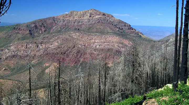
Mazatzal Peak, the heart of Mazatzal Wilderness
Mazatzal Wilderness
Upper left photo courtesy of Stephen Peel, via Wilderness.net
Other photos courtesy of the US Forest Service
Area map courtesy of National Geographic Topo!