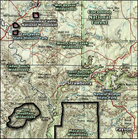
Fossil Springs Wilderness
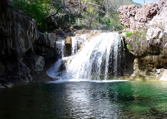
Waterfall in Fossil Creek, Fossil Springs Wilderness
Fossil Springs Wilderness is a 22,149-acre property on the boundary between Coconino and Tonto National Forests. Fossil Springs itself pours about 20,000 gallons of water per hour out the side of the Mogollon Rim and that flows down through the canyon to where it eventually reaches the Verde River. Along that corridor is one of the most diverse riparian ecosystems in Arizona.
As the water flows out of a layer of limestone deep beneath the overlying sandstones of the Colorado Plateau, it carries a large amount of dissolved calcium that precipitates on every exposed surface along the route and has formed massive deposits of travertine. In that travertine you'll find all kinds of things encased and fossilized: essentially everything of any size that fell into the water and didn't immediately dissolve over the last so many millions of years (the Colorado Plateau was pushed up about 65 million years ago as a huge block uplift).
Historically, Fossil Creek flowed with a lot of calcium-rich water but since the development of hydro-power, dams have changed the flow and the mineral make-up of the suspensions in that flow and today's creek, as much as it is a designated Wild and Scenic River, is changing and some of that travertine deposited along the canyon over the millenia is being noticeably dissolved away.
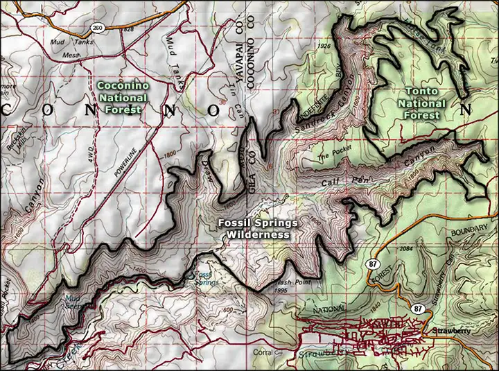
The zone of big springs sits at the bottom of a canyon, about 1,600 feet below the top of the Mogollon Rim. The east end of Fossil Springs Wilderness is about 12 miles upstream from there, in Calf Pen and Sandrock Canyons. As you progress up through the canyons, they get more steep and sheer-walled until eventually, you come up onto the top of the Mogollon Rim. Most folks, though, don't go much past the main springs.
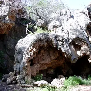
The area supports javelina, elk, mule deer, white-tailed deer, gray fox, ring-tailed cat, black bear, mountain lion, coyote and skunk. There are several trails in the area, most of them dropping to the creek at some point, a few actually crossing and continuing up the other side of the canyon.
Most folks access Fossil Springs Wilderness via Forest Roads 9 and 708, coming from Camp Verde. There's also access near Strawberry off Forest Road 708 but the road itself may be rougher than the hiking trails. The roads are all gravel and even a bit of rain can make them virtually impassable.
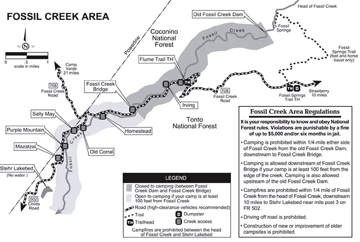
New restrictions on use of the Fossil Creek area downstream of the wilderness
Photos and B/W map courtesy of the US Forest Service
Colored map courtesy of National Geographic Topo!
Related Pages
Cedar Bench Wilderness
Fort Verde State Historic Park
Fossil Springs Wilderness
Hellsgate Wilderness
Fort Verde State Historic Park
Fossil Springs Wilderness
Hellsgate Wilderness
Map courtesy of National Geographic Topo!