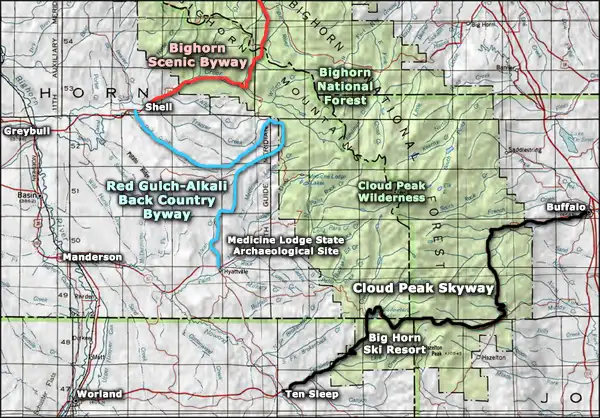
Cloud Peak Skyway
The mountains of Cloud Peak Wilderness from the Cloud Peak Skyway
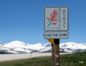
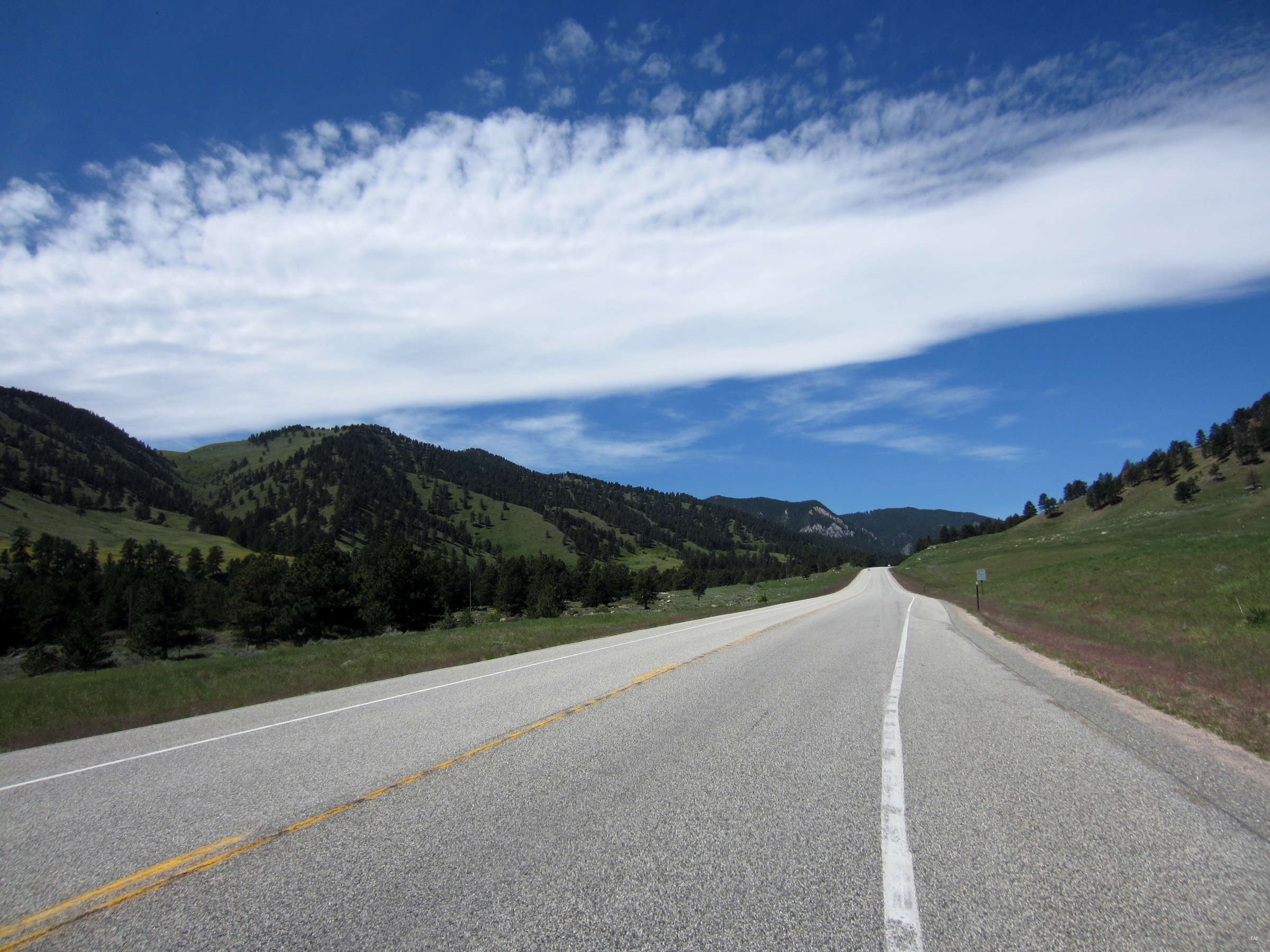
Cloud Peak Skyway is a 47-mile route along US Highway 16 across the Bighorn Mountains. The byway begins at the western boundary of the National Forest and runs up Ten Sleep Canyon, past Shell Falls and continues up over Powder River Pass (9,666') to cross the upper, almost flat part of the Bighorns before dropping down to the eastern forest boundary just outside Buffalo. I drove the byway from east to west in late spring, 2017. Going up Hospital Hill out of Buffalo I came across a series of markers pointing out the nature of the geology of the area, complete with formation names and dates of when those formations were laid down. It was really nice to see the geological history of the area displayed in such a manner.
Cloud Peak Skyway wraps around the southern and southeastern boundaries of Cloud Peak Wilderness, a 189,000-acre property that runs along the spine of the Bighorn Mountains and includes most of the highest peaks in the range, including 13,167-foot Cloud Peak.
As this route is entirely within National Forest, there are campgrounds and picnic sites and trailheads and access roads heading of in all directions. Once you are up and out of Ten Sleep Canyon, there are also pullouts along the road because the upper deck of the Bighorns provides some incredible vistas out and over northern and central Wyoming. Ten Sleep Canyon is a deep cut into limestone and dolomite rock but the majority of the Bighorns are granite, pushed up during the Laramide Orogeny about 65-70 million years ago. The upper mountains have been heavily carved by glaciers while the outer edges of the mountains are cut deeply by eons of flowing water. Ten Sleep Canyon is also a favorite among the technical rock climbing set.
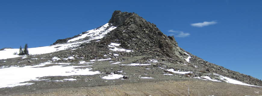
Rock formation at the top of Powder River Pass
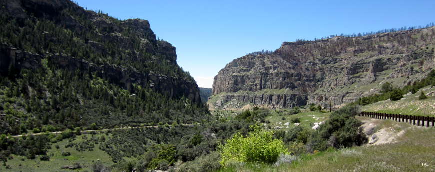
Ten Sleep Canyon
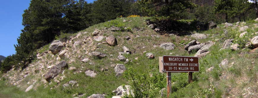
An outcropping of the Wasatch Formation
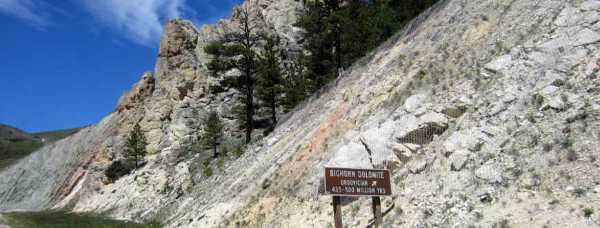
Bighorn Dolomite from the Ordovician Period
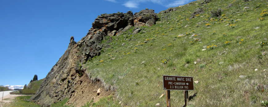
A Granite mafic dike from Precambrian times
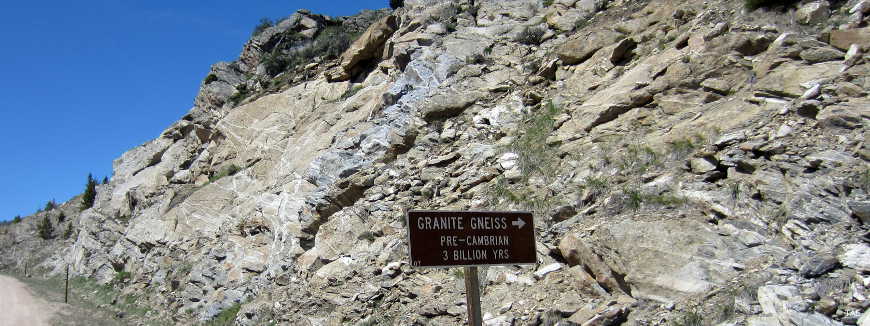
Granite Gniess from Precambrian times
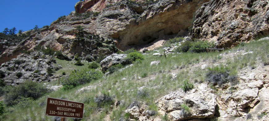
Limestone of the Madison Formation
Climbing Hospital Hill
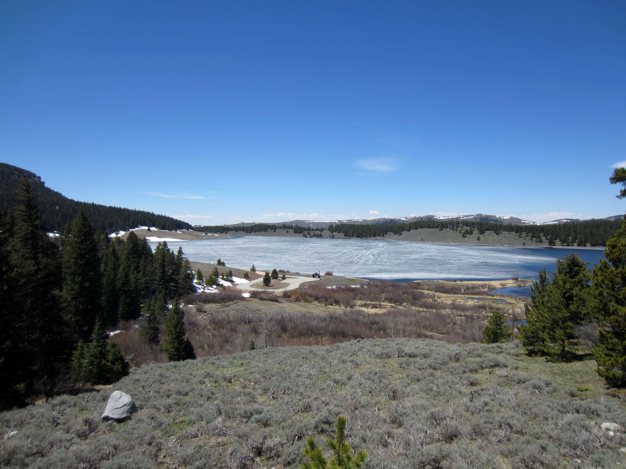
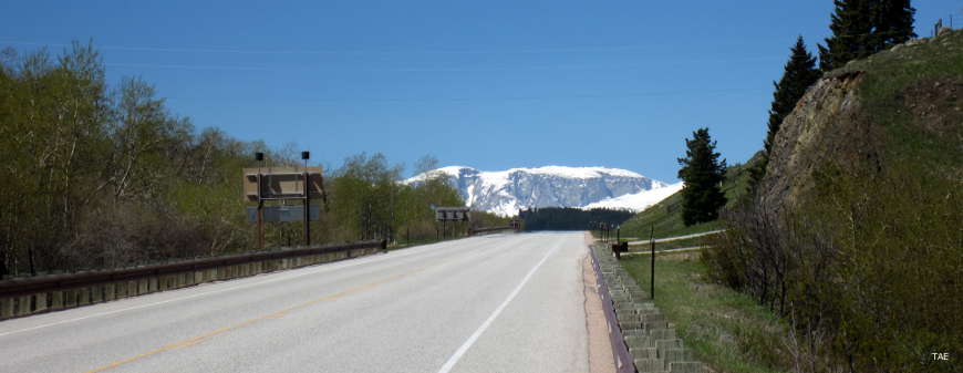
In the flats at the top of the byway
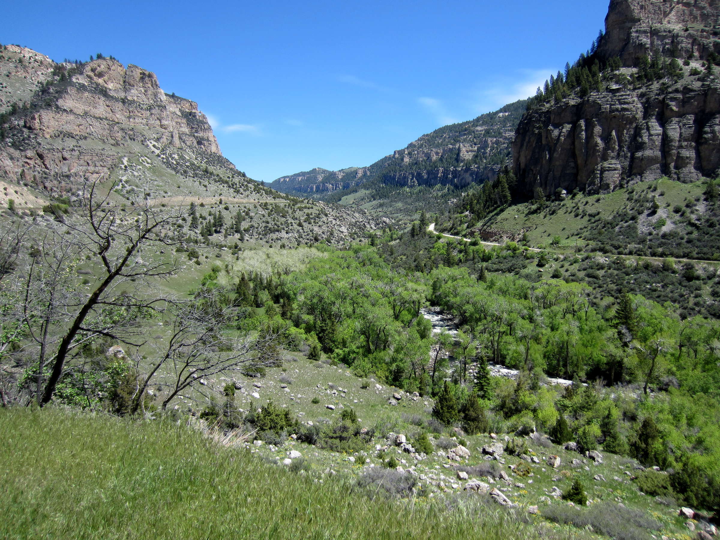
Ten Sleep Canyon
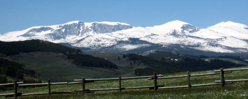
Cloud Peak itself
Photos courtesy of TheArmchairExplorer, CCA-by-SA 4.0 License
Related Pages
Map courtesy of National Geographic Topo!